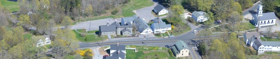

COLEBROOK – Litchfield County
Form of government – Selectman, Town Meeting, Board of Finance
Incorporated – October, 1779
Colebrook is in northeastern Litchfield County and is bounded to the east by Hartford County, Connecticut and to the north by Berkshire and Hampden County, Massachusetts.
According to the United States Census Bureau, the town has a total area of 32.9 square miles of which 31.5 square miles are land and 1.4 square miles, or 4.23%, are water. Colebrook River Lake and West Branch Reservoir, both on the West Branch of the Farmington River, are in the northeast part of town. Algonquin State Forest is also located in part within the town.
Colebrook is 15 miles north of Torrington and 30 miles northwest of Hartford, the state capitol.
Elevation – 1,389.76 ft
Zip code – 06021
As of the 2020 census, the population was 1,361 living in 599 households. The population density was 43.2 people per square mile. There were 694 housing units at an average density of 21.9 per square mile.
Schools:
- Colebrook Consolidated School – Kindergarten through 6th grade
- Regional School District No. 7 – middle and high schools
U.S. Congress and Connecticut General Assembly:
- 63rd General Assembly District (Colebrook, Goshen, Torrington, Winchester)
- 8th Senatorial District (Avon, Barkhamsted, Canton, Colebrook, Granby, Hartland, Hawinton, New Hartford, Norfolk, Simsbury, and Torrington)
- Connecticut Congressional Representation
- Connecticut 1st Congressional District (27 municipalities in Hartford, Litchfield, and Middlesex counties)
The Colebrook Historical Society has a great website about all things Colebrook. Learn more about our town here.